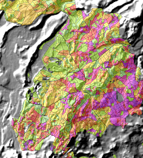
The forest-based sector already depends on ‘space technology’ in the form of global positioning systems, remote sensing technologies and geo-information technologies. In particular, optimising large-scale forest management, inventory, harvesting and transport operations relies increasingly upon these technologies. Space technology is also important for tracking the trade in legal and illegal wood, monitoring changes in forest cover, disease tracking, modelling of forest ecosystem services and scenario development. The management of practically all forest ecosystem services, including raw material provision (e.g. harvesting of timber and other biomass), landscape and watershed regulation (e.g. prevention of avalanches, landslides, floods), cultural landscape management (e.g. for tourism) and supporting services (e.g. CO2 sequestration, biodiversity conservation) can be supported by geo-information and remote sensing technology.

Numerous innovative services and applications have yet to be developed. Especially with new high-resolution space data, LIDAR and digital air-photo technology, as well as satellite-based stereo and interterrometric technologies providing 3-D information, a new era of geo-modelling and ‘tree by tree’ forest management and forest operations are expected, as long as the data is easily accessible through web services. The forest-based sector must further evolve with the aim of becoming a prime integrated civil user of space technology interlinked with aerial and ground-based information. European projects in space technology, especially Galileo (global positioning system) and GMES (Global Monitoring for Environment and Security), are key assets for the development of the sector.

